
Make a donation
Gear up for your next adventure:
As an Amazon Associate, this site earns from qualifying purchases at no extra cost to you.
Cranbury topographic map
Click on the map to display elevation.
Make a donation
Gear up for your next adventure:
As an Amazon Associate, this site earns from qualifying purchases at no extra cost to you.
About this map
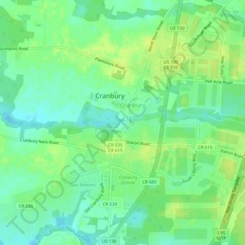
Name: Cranbury topographic map, elevation, terrain.
Average elevation: 102 ft
Minimum elevation: 72 ft
Maximum elevation: 131 ft
Make a donation
Gear up for your next adventure:
As an Amazon Associate, this site earns from qualifying purchases at no extra cost to you.
Other topographic maps
Click on a map to view its topography, its elevation and its terrain.
North Bergen
United States of America > New Jersey > North Bergen
North Bergen has diverse geological features. Partially situated on the Hudson River, the Hudson Palisades rise from the waterfront, while the northern part of the town sits atop the plateau. The cuesta, or slope, on its west side makes North Bergen the city with the second-most hills per square mile in the…
Average elevation: 72 ft
Make a donation
Gear up for your next adventure:
As an Amazon Associate, this site earns from qualifying purchases at no extra cost to you.