
Jumarah topographic map
Interactive map
Click on the map to display elevation.
About this map
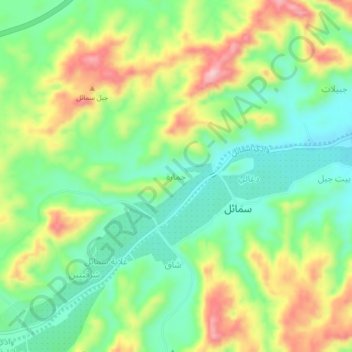
Name: Jumarah topographic map, elevation, terrain.
Location: Jumarah, Ad Dakhiliyah, 620, Oman (23.29001 57.97039 23.33001 58.01039)
Average elevation: 1,388 ft
Minimum elevation: 1,125 ft
Maximum elevation: 1,801 ft