
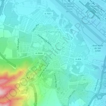
Churriana topographic map
Interactive map
Click on the map to display elevation.
About this map
Name: Churriana topographic map, elevation, terrain.
Location: Churriana, Málaga, Andalucía, España (36.64517 -4.52123 36.67873 -4.48554)
Average elevation: 217 ft
Minimum elevation: -10 ft
Maximum elevation: 1,220 ft
Other topographic maps
Click on a map to view its topography, its elevation and its terrain.