
San Andres topographic map
Interactive map
Click on the map to display elevation.
About this map
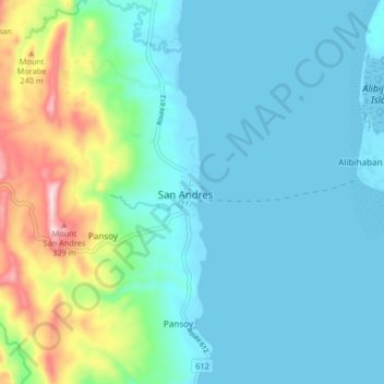
Name: San Andres topographic map, elevation, terrain.
Location: San Andres, Calabarzon, Philippines (13.28350 122.63745 13.36350 122.71745)
Average elevation: 253 ft
Minimum elevation: 0 ft
Maximum elevation: 1,266 ft