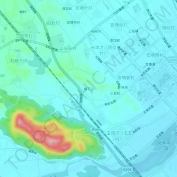
Geolocate

楼下山 topographic map

Interactive map

Click on the map to display elevation.

About this map

Name: 楼下山 topographic map, elevation, terrain.

Location: 楼下山, 天台县, 台州市, 花前产业园区, 浙江省, 317200, 中国 (29.13103 120.95120 29.17103 120.99120)

Average elevation: 259 ft

Minimum elevation: 167 ft

Maximum elevation: 797 ft

Other topographic maps

Click on a map to view its topography, its elevation and its terrain.

官塘市村

中国 > 浙江省 > 天台县

官塘市村, 天台县, 台州市, 花前产业园区, 浙江省, 317200, 中国

Average elevation: 249 ft

殿前

中国 > 浙江省 > 天台县

殿前, 天台县, 台州市, 浙江省, 中国

Average elevation: 948 ft

上毛蒋

中国 > 浙江省 > 天台县

上毛蒋, 天台县, 台州市, 花前产业园区, 浙江省, 317200, 中国

Average elevation: 226 ft

城岭

中国 > 浙江省 > 天台县

城岭, 天台县, 台州市, 浙江省, 中国

Average elevation: 620 ft

乌龟山

中国 > 浙江省 > 天台县

乌龟山, 天台县, 台州市, 浙江省, 中国

Average elevation: 361 ft