
Nacional topographic map
Interactive map
Click on the map to display elevation.
About this map
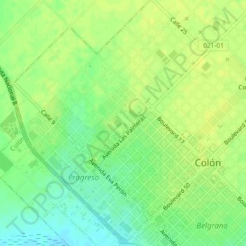
Name: Nacional topographic map, elevation, terrain.
Location: Nacional, Colón, Partido de Colón, Buenos Aires, Argentina (-33.89411 -61.11233 -33.89114 -61.10872)
Average elevation: 285 ft
Minimum elevation: 249 ft
Maximum elevation: 305 ft