
Kranichfeld topographic map
Interactive map
Click on the map to display elevation.
About this map
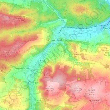
Name: Kranichfeld topographic map, elevation, terrain.
Average elevation: 1,257 ft
Minimum elevation: 928 ft
Maximum elevation: 1,578 ft
Other topographic maps
Click on a map to view its topography, its elevation and its terrain.
Hopfgarten
Duitsland > Thüringen > Landkreis Weimarer Land
Hopfgarten, Grammetal, Landkreis Weimarer Land, Thüringen, Duitsland
Average elevation: 925 ft