
Lago "San Carlos" topographic map
Interactive map
Click on the map to display elevation.
About this map
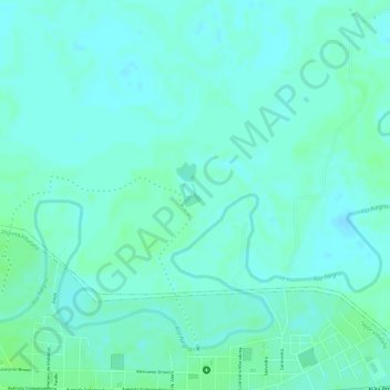
Name: Lago "San Carlos" topographic map, elevation, terrain.
Location: Lago "San Carlos", Departamento Pirané, Formosa, Argentina (-26.19147 -59.07661 -26.18984 -59.07492)
Average elevation: 253 ft
Minimum elevation: 240 ft
Maximum elevation: 269 ft
Other topographic maps
Click on a map to view its topography, its elevation and its terrain.
Río Bermejo
Río Bermejo, Municipio de El Sauzalito, Departamento Bermejo, Formosa, H3526, Argentina
Average elevation: 705 ft