
Chong topographic map
Interactive map
Click on the map to display elevation.
About this map
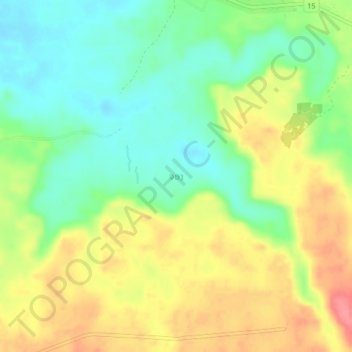
Name: Chong topographic map, elevation, terrain.
Location: Chong, Vapy District, Salavan Province, Laos (15.64908 106.03487 15.68908 106.07487)
Average elevation: 558 ft
Minimum elevation: 446 ft
Maximum elevation: 699 ft