
Bouaichoune topographic map
Interactive map
Click on the map to display elevation.
About this map
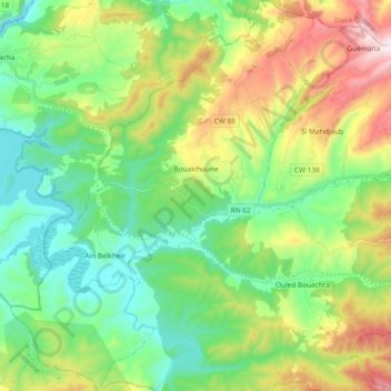
Name: Bouaichoune topographic map, elevation, terrain.
Location: Bouaichoune, Daïra Si Mahdjoub, Médéa, Algérie (36.06069 2.57270 36.21136 2.71522)
Average elevation: 2,152 ft
Minimum elevation: 1,306 ft
Maximum elevation: 3,904 ft