
店前村 topographic map
Interactive map
Click on the map to display elevation.
About this map
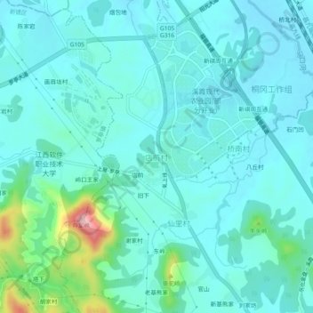
Name: 店前村 topographic map, elevation, terrain.
Location: 店前村, 溪霞镇, 新建区, 南昌市, 江西省, 中国 (28.87204 115.80236 28.91204 115.84236)
Average elevation: 174 ft
Minimum elevation: 75 ft
Maximum elevation: 705 ft
Other topographic maps
Click on a map to view its topography, its elevation and its terrain.