
İğneada topographic map
Interactive map
Click on the map to display elevation.
About this map
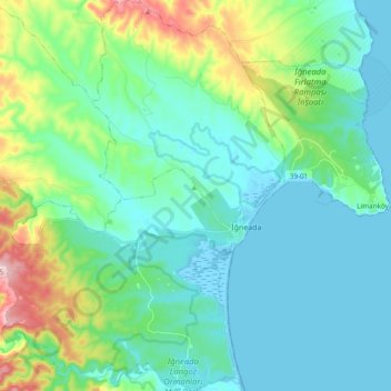
Name: İğneada topographic map, elevation, terrain.
Location: İğneada, Demirköy, Kırklareli, Marmara Region, Turkey (41.81751 27.86794 41.95903 28.01515)
Average elevation: 187 ft
Minimum elevation: -23 ft
Maximum elevation: 889 ft