Parc de la Presqu'île topographic map
Interactive map
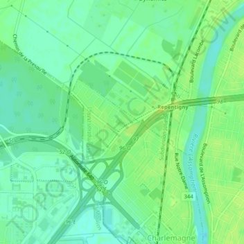
Click on the map to display elevation.
About this map
Name: Parc de la Presqu'île topographic map, elevation, terrain.
Average elevation: 39 ft
Minimum elevation: 16 ft
Maximum elevation: 59 ft

Click on the map to display elevation.
Name: Parc de la Presqu'île topographic map, elevation, terrain.
Average elevation: 39 ft
Minimum elevation: 16 ft
Maximum elevation: 59 ft