
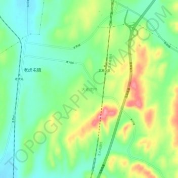
大老虎村 topographic map
Interactive map
Click on the map to display elevation.
About this map
Name: 大老虎村 topographic map, elevation, terrain.
Location: 大老虎村, 瓦房店市, 大连市, 辽宁省, 中国 (39.63065 121.80854 39.67065 121.84854)
Average elevation: 217 ft
Minimum elevation: 79 ft
Maximum elevation: 446 ft
Other topographic maps
Click on a map to view its topography, its elevation and its terrain.