
Sungai Jeram Batu topographic map
Interactive map
Click on the map to display elevation.
About this map
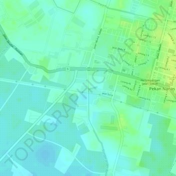
Name: Sungai Jeram Batu topographic map, elevation, terrain.
Location: Sungai Jeram Batu, Pekan Nanas, Pontian, Johor, Malaysia (1.50665 103.50139 1.50701 103.50270)
Average elevation: 33 ft
Minimum elevation: 10 ft
Maximum elevation: 66 ft