
San Alberto topographic map
Interactive map
Click on the map to display elevation.
About this map
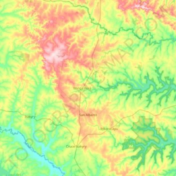
Name: San Alberto topographic map, elevation, terrain.
Location: San Alberto, Alto Paraná, Región Oriental, 7310, Paraguay (-25.07175 -55.07088 -24.68069 -54.34205)
Average elevation: 938 ft
Minimum elevation: 650 ft
Maximum elevation: 1,512 ft