
Beroroha topographic map
Interactive map
Click on the map to display elevation.
About this map
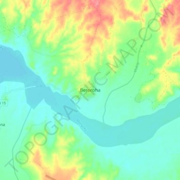
Name: Beroroha topographic map, elevation, terrain.
Location: Beroroha, Atsimo-Andrefana, Province de Toliara, Madagascar (-21.71978 45.12985 -21.63978 45.20985)
Average elevation: 591 ft
Minimum elevation: 505 ft
Maximum elevation: 768 ft