
Quinta da Madalena topographic map
Interactive map
Click on the map to display elevation.
About this map
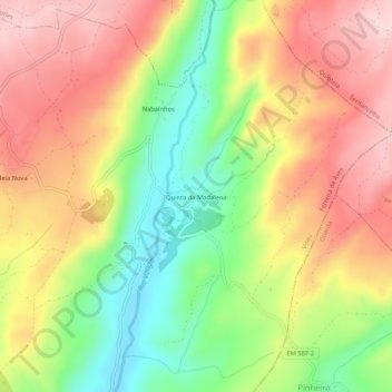
Name: Quinta da Madalena topographic map, elevation, terrain.
Location: Quinta da Madalena, Ferreira de Aves, Sátão, Viseu, Portugal (40.80336 -7.63763 40.84336 -7.59763)
Average elevation: 2,421 ft
Minimum elevation: 1,969 ft
Maximum elevation: 2,835 ft
Other topographic maps
Click on a map to view its topography, its elevation and its terrain.
Corujeira
Portugal > Viseu > Sátão > Ferreira de Aves
Corujeira, Ferreira de Aves, Sátão, Viseu, Portugal
Average elevation: 2,457 ft