
La Isla topographic map
Interactive map
Click on the map to display elevation.
About this map
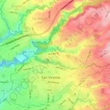
Name: La Isla topographic map, elevation, terrain.
Location: La Isla, Cantón Moravia, Provincia San José, 11401, Costa Rica (9.95177 -84.06576 9.99177 -84.02576)
Average elevation: 4,068 ft
Minimum elevation: 3,711 ft
Maximum elevation: 4,377 ft