
Mankachar topographic map
Interactive map
Click on the map to display elevation.
About this map
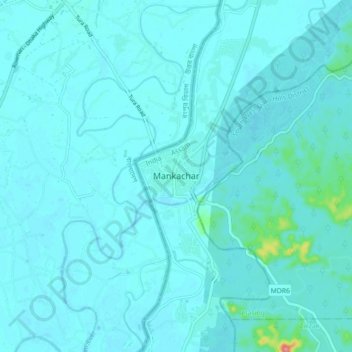
Name: Mankachar topographic map, elevation, terrain.
Location: Mankachar, South Salmara-Mankachar, Assam, India (25.49527 89.82278 25.57527 89.90278)
Average elevation: 85 ft
Minimum elevation: 59 ft
Maximum elevation: 361 ft