
Bagumbayan topographic map
Click on the map to display elevation.
About this map
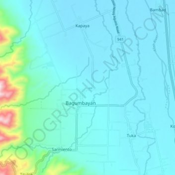
Name: Bagumbayan topographic map, elevation, terrain.
Location: Bagumbayan, Sultan Kudarat, Soccsksargen, 9810, Philippines (6.49341 124.52378 6.57341 124.60378)
Average elevation: 610 ft
Minimum elevation: 243 ft
Maximum elevation: 2,966 ft
Other topographic maps
Click on a map to view its topography, its elevation and its terrain.