
Châtel-Saint-Denis topographic map
Interactive map
Click on the map to display elevation.
About this map
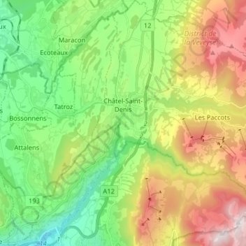
Name: Châtel-Saint-Denis topographic map, elevation, terrain.
Average elevation: 3,074 ft
Minimum elevation: 1,499 ft
Maximum elevation: 5,689 ft