
Zitácuaro topographic map
Interactive map
Click on the map to display elevation.
About this map
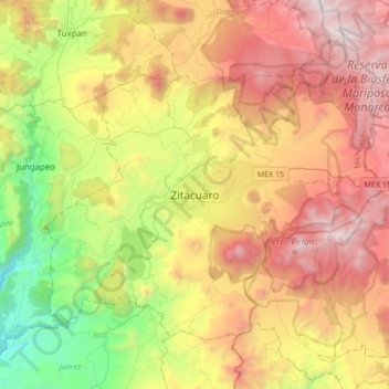
Name: Zitácuaro topographic map, elevation, terrain.
Location: Zitácuaro, Michoacán, 61500, Mexico (19.27440 -100.51531 19.59440 -100.19531)
Average elevation: 7,077 ft
Minimum elevation: 2,969 ft
Maximum elevation: 11,890 ft