
Tanjungjaya topographic map
Interactive map
Click on the map to display elevation.
About this map
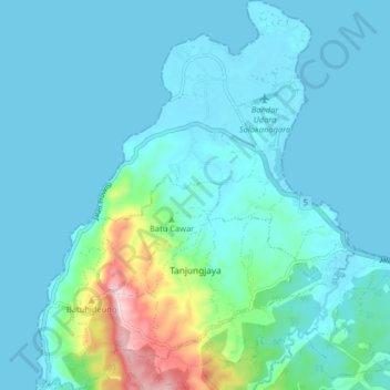
Name: Tanjungjaya topographic map, elevation, terrain.
Location: Tanjungjaya, Pandeglang, Banten, Indonesia (-6.55193 105.62199 -6.47143 105.68812)
Average elevation: 121 ft
Minimum elevation: 0 ft
Maximum elevation: 873 ft