
Tall Kalakh topographic map
Interactive map
Click on the map to display elevation.
About this map
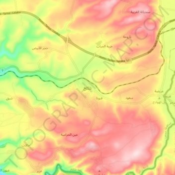
Name: Tall Kalakh topographic map, elevation, terrain.
Location: Tall Kalakh, Homs, Syria (34.63139 36.22018 34.71139 36.30018)
Average elevation: 958 ft
Minimum elevation: 387 ft
Maximum elevation: 1,348 ft