
Padre Island topographic map
Interactive map
Click on the map to display elevation.
About this map
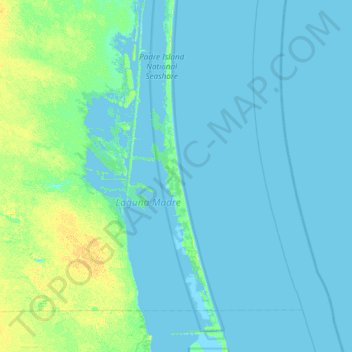
Name: Padre Island topographic map, elevation, terrain.
Location: Padre Island, Kenedy County, Texas, United States (26.52450 -97.68776 27.16450 -97.04776)
Average elevation: 10 ft
Minimum elevation: -10 ft
Maximum elevation: 52 ft