
Würdenhain topographic map
Interactive map
Click on the map to display elevation.
About this map
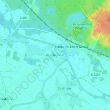
Name: Würdenhain topographic map, elevation, terrain.
Location: Würdenhain, Elbe-Elster, Brandenburg, Deutschland (51.45596 13.43918 51.49596 13.47918)
Average elevation: 308 ft
Minimum elevation: 282 ft
Maximum elevation: 427 ft