
Black Rock Mountain State Park topographic map
Interactive map
Click on the map to display elevation.
About this map
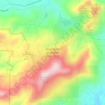
Name: Black Rock Mountain State Park topographic map, elevation, terrain.
Average elevation: 2,733 ft
Minimum elevation: 1,965 ft
Maximum elevation: 3,589 ft