
Mirghah topographic map
Interactive map
Click on the map to display elevation.
About this map
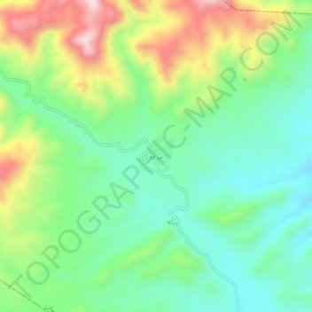
Name: Mirghah topographic map, elevation, terrain.
Location: Mirghah, Musakhel, Khost Province, Afghanistan (33.44429 69.80503 33.48429 69.84503)
Average elevation: 5,174 ft
Minimum elevation: 4,665 ft
Maximum elevation: 6,138 ft