
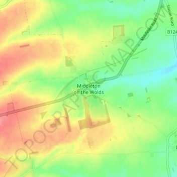
Middleton on the Wolds topographic map
Interactive map
Click on the map to display elevation.
About this map
Name: Middleton on the Wolds topographic map, elevation, terrain.
Average elevation: 184 ft
Minimum elevation: 75 ft
Maximum elevation: 299 ft