
Telamayu topographic map
Interactive map
Click on the map to display elevation.
About this map
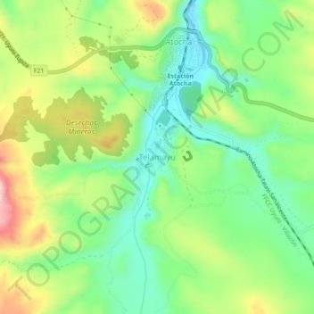
Name: Telamayu topographic map, elevation, terrain.
Location: Telamayu, Municipio Atocha, Sur Chichas, Potosí, Bolivia (-20.96803 -66.24445 -20.92803 -66.20445)
Average elevation: 12,277 ft
Minimum elevation: 11,962 ft
Maximum elevation: 12,785 ft