
Isola Manna topographic map
Interactive map
Click on the map to display elevation.
About this map
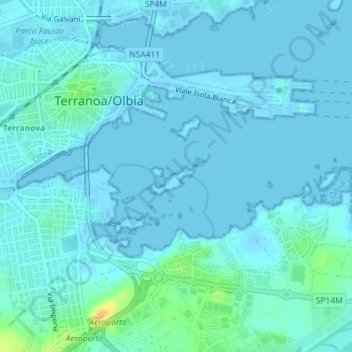
Name: Isola Manna topographic map, elevation, terrain.
Location: Isola Manna, Italia (40.91595 9.50769 40.91886 9.51343)
Average elevation: 13 ft
Minimum elevation: -7 ft
Maximum elevation: 115 ft