
Teverga topographic map
Interactive map
Click on the map to display elevation.
About this map
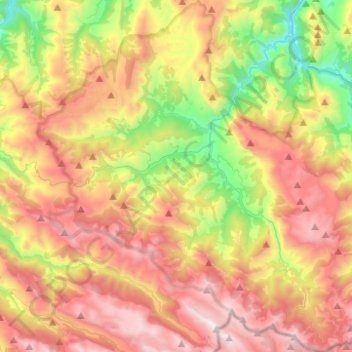
Name: Teverga topographic map, elevation, terrain.
Location: Teverga, Asturies, 33111, Espagne (43.05465 -6.21821 43.23548 -6.00144)
Average elevation: 3,648 ft
Minimum elevation: 794 ft
Maximum elevation: 6,617 ft
Other topographic maps
Click on a map to view its topography, its elevation and its terrain.