
Valle de Chaschuil topographic map
Interactive map
Click on the map to display elevation.
About this map
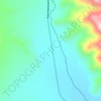
Name: Valle de Chaschuil topographic map, elevation, terrain.
Average elevation: 10,492 ft
Minimum elevation: 10,246 ft
Maximum elevation: 11,430 ft
Other topographic maps
Click on a map to view its topography, its elevation and its terrain.
Cerro San Buenaventura
Argentina > Catamarca > Fiambala
Cerro San Buenaventura, Fiambalá, Departamento Tinogasta, Catamarca, K5340, Argentina
Average elevation: 10,079 ft