
Rugombo topographic map
Interactive map
Click on the map to display elevation.
About this map
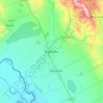
Name: Rugombo topographic map, elevation, terrain.
Location: Rugombo, Cibitoke, Burundi (-2.85302 29.04216 -2.77302 29.12216)
Average elevation: 3,156 ft
Minimum elevation: 2,776 ft
Maximum elevation: 4,265 ft
Other topographic maps
Click on a map to view its topography, its elevation and its terrain.