
Bernard Lake topographic map
Interactive map
Click on the map to display elevation.
About this map
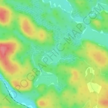
Name: Bernard Lake topographic map, elevation, terrain.
Location: Bernard Lake, Milnet Road, Greater Sudbury, Ontario, Canada (46.85944 -80.97359 46.86475 -80.96667)
Average elevation: 1,161 ft
Minimum elevation: 1,053 ft
Maximum elevation: 1,319 ft