
Richwood topographic map
Interactive map
Click on the map to display elevation.
About this map
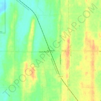
Name: Richwood topographic map, elevation, terrain.
Location: Richwood, Town of Shields, Dodge County, Wisconsin, USA (43.22139 -88.80316 43.26139 -88.76316)
Average elevation: 846 ft
Minimum elevation: 781 ft
Maximum elevation: 909 ft