
Bald Eagle topographic map
Interactive map
Click on the map to display elevation.
About this map
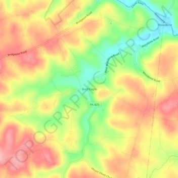
Name: Bald Eagle topographic map, elevation, terrain.
Average elevation: 535 ft
Minimum elevation: 289 ft
Maximum elevation: 725 ft
Other topographic maps
Click on a map to view its topography, its elevation and its terrain.
New Park
United States > Pennsylvania > York County > Fawn Township
New Park, Fawn Township, York County, Pennsylvania, 17352, United States
Average elevation: 728 ft