
wood land topographic map
Interactive map
Click on the map to display elevation.
About this map
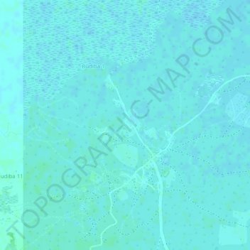
Name: wood land topographic map, elevation, terrain.
Location: wood land, Budiba 1, Ntoroko, Western Region, Uganda (1.12170 30.26095 1.12196 30.26114)
Average elevation: 2,067 ft
Minimum elevation: 2,060 ft
Maximum elevation: 2,077 ft