
Tshipise topographic map
Interactive map
Click on the map to display elevation.
About this map
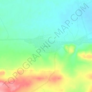
Name: Tshipise topographic map, elevation, terrain.
Location: Tshipise, Limpopo, South Africa (-22.55324 30.64876 -22.51324 30.68876)
Average elevation: 1,542 ft
Minimum elevation: 1,404 ft
Maximum elevation: 1,821 ft