
เวียงเหนือ topographic map
Interactive map
Click on the map to display elevation.
About this map
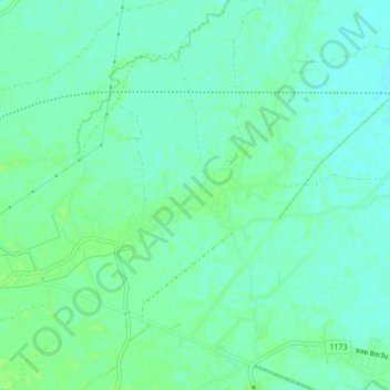
Name: เวียงเหนือ topographic map, elevation, terrain.
Location: เวียงเหนือ, จังหวัดเชียงราย, 57210, Thaïlande (19.89068 99.90677 19.93068 99.94677)
Average elevation: 1,270 ft
Minimum elevation: 1,253 ft
Maximum elevation: 1,286 ft