
Amandola topographic map
Interactive map
Click on the map to display elevation.
About this map
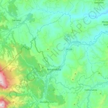
Name: Amandola topographic map, elevation, terrain.
Location: Amandola, Fermo, Marken, Italien (42.95140 13.25026 43.04307 13.41660)
Average elevation: 1,841 ft
Minimum elevation: 817 ft
Maximum elevation: 5,728 ft