
Felda Chini topographic map
Interactive map
Click on the map to display elevation.
About this map
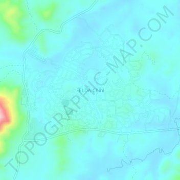
Name: Felda Chini topographic map, elevation, terrain.
Location: Felda Chini, Pekan, Pahang, Malaysia (3.35539 102.92405 3.39539 102.96405)
Average elevation: 121 ft
Minimum elevation: 39 ft
Maximum elevation: 758 ft