Ponte di Ferro topographic map
Interactive map
Click on the map to display elevation.
About this map
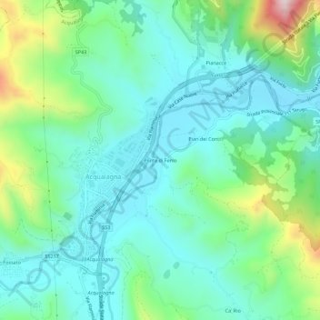
Name: Ponte di Ferro topographic map, elevation, terrain.
Average elevation: 978 ft
Minimum elevation: 561 ft
Maximum elevation: 2,267 ft

Click on the map to display elevation.
Name: Ponte di Ferro topographic map, elevation, terrain.
Average elevation: 978 ft
Minimum elevation: 561 ft
Maximum elevation: 2,267 ft