
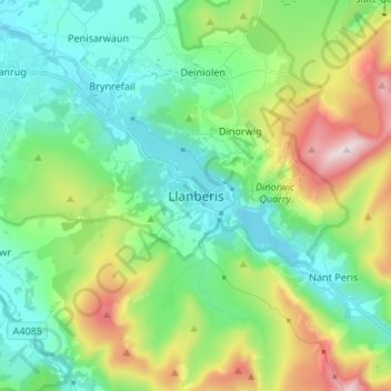
Llanberis topographic map
Interactive map
Click on the map to display elevation.
About this map
Name: Llanberis topographic map, elevation, terrain.
Location: Llanberis, Gwynedd, Gales, LL55 4BF, Gran Bretaña (53.08128 -4.16775 53.16128 -4.08775)
Average elevation: 1,056 ft
Minimum elevation: 289 ft
Maximum elevation: 2,966 ft