
Stoubach topographic map
Interactive map
Click on the map to display elevation.
About this map
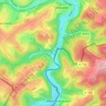
Name: Stoubach topographic map, elevation, terrain.
Location: Stoubach, Burg-Reuland, Luik, Wallonië, 4790, België (50.15602 6.12384 50.19602 6.16384)
Average elevation: 1,430 ft
Minimum elevation: 1,089 ft
Maximum elevation: 1,804 ft