
Morgandale topographic map
Interactive map
Click on the map to display elevation.
About this map
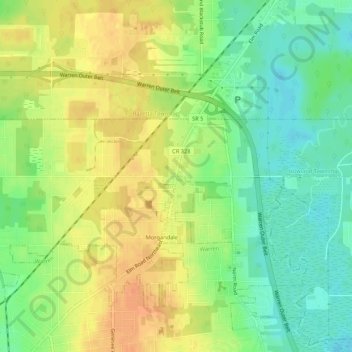
Name: Morgandale topographic map, elevation, terrain.
Location: Morgandale, Trumbull, Ohio, 44483, United States of America (41.24561 -80.80286 41.28561 -80.76286)
Average elevation: 915 ft
Minimum elevation: 850 ft
Maximum elevation: 974 ft