
Deadwood topographic map
Interactive map
Click on the map to display elevation.
About this map
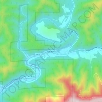
Name: Deadwood topographic map, elevation, terrain.
Location: Deadwood, Lane County, Oregon, United States of America (44.07568 -123.78344 44.11568 -123.74344)
Average elevation: 696 ft
Minimum elevation: 171 ft
Maximum elevation: 2,041 ft