
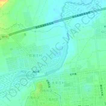
壶流河 topographic map
Interactive map
Click on the map to display elevation.
About this map
Name: 壶流河 topographic map, elevation, terrain.
Location: 壶流河, 蔚县, 张家口市, 中国 (39.84899 114.55424 39.86339 114.57274)
Average elevation: 2,966 ft
Minimum elevation: 2,936 ft
Maximum elevation: 3,041 ft