
Doorwerth topographic map
Interactive map
Click on the map to display elevation.
About this map
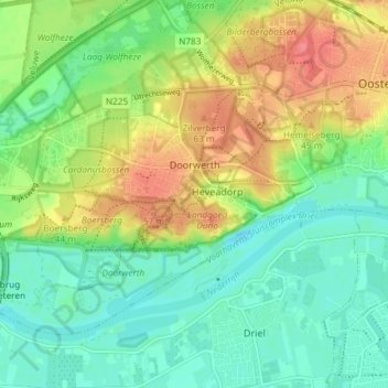
Name: Doorwerth topographic map, elevation, terrain.
Location: Doorwerth, Renkum, Geldern, Niederlande (51.95899 5.74630 51.99179 5.82004)
Average elevation: 82 ft
Minimum elevation: 0 ft
Maximum elevation: 223 ft